Hampton, Norfolk and Virginia Beach, Virginia | Rand McNally Sale Finishline
$10.00 Original price was: $10.00.$5.00Current price is: $5.00.
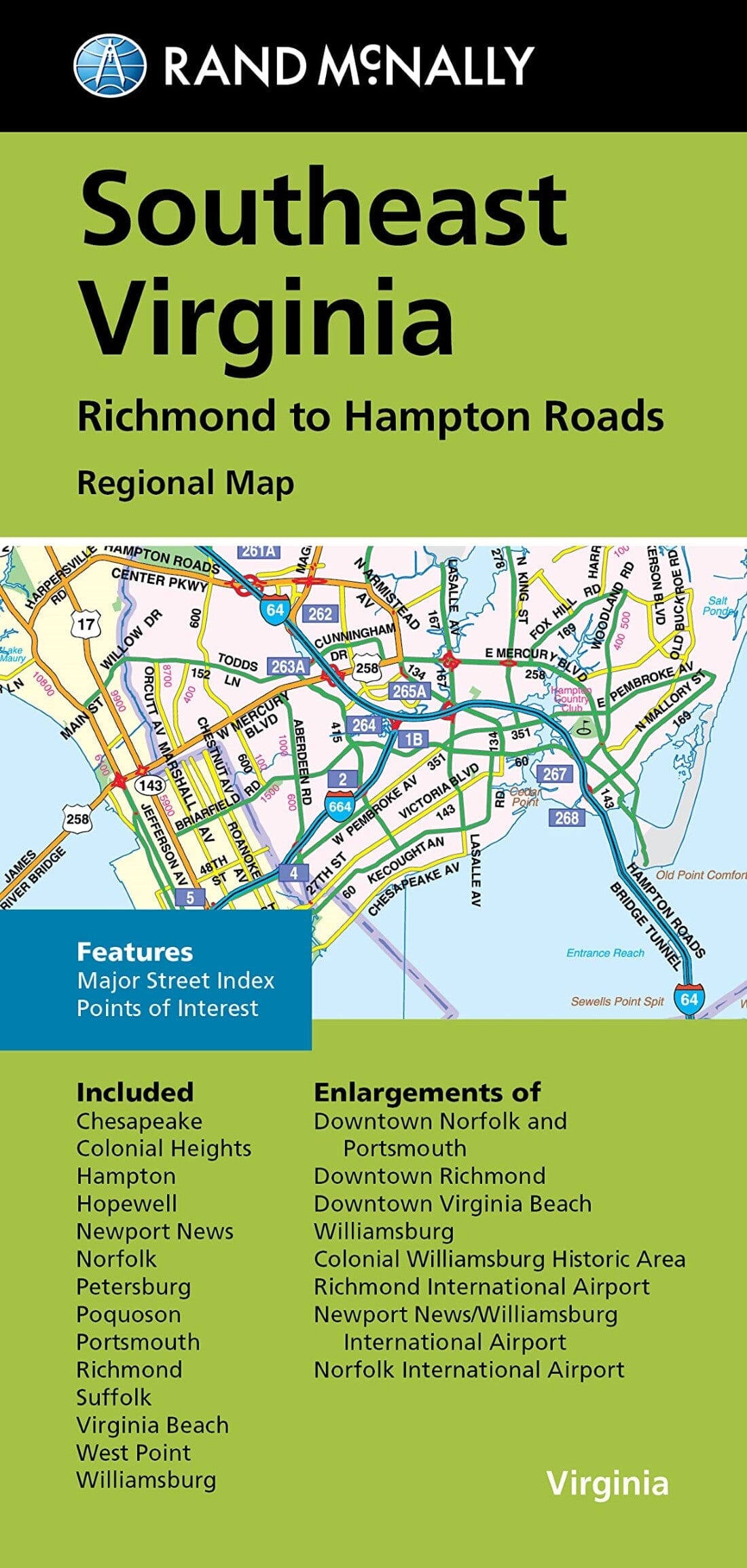
Rand McNally’s folded map for Southeast Virginia Richmond to Hampton Roads is a must – have for anyone traveling in and around this part of Virginia, offering unbeatable accuracy and reliability at a great price. Trusted cartography shows all Interstate, U.S., state, and county highways, along with clearly indicated parks, points of interest, airports, county boundaries, and streets. The easy – to – use legend and detailed index make for quick and easy location of destinations.
Regularly updated
Full – color maps
Clearly labeled Interstate, U.S., state, and county highways
Indications of parks, points of interest, airports, county boundaries, downtown & vicinity maps
Major attractions & Golf Courses
Enlargements of Norfolk and Portsmouth downtown, Richmond downtown, Virginia Beach downtown, Williamsburg, Colonial Williamsburg Historic Area, Richmond Int’l Airport, Newport News/Williamsburg Int’l Airport, Norfolk Int’l Airport
Easy – to – use legend
Detailed index & Major Street Index
Convenient folded size
© 2014
Coverage Area Chesapeake, Colonial Heights, Hampton, Hopewell, Newport News, Norfolk, Petersburg, Poquoson, Portsmouth, Richmond, Suffolk, Virginia Beach, West Point, Williamsburg
Related products
New Collections
Biblia manual letra grande trió tono RVR60 – Morado y rosa – Cierre – Índice Discounts Cheap Pice
New Collections


