

Embossed Wall map that covers the Ecrins National Park.
A finishing frame is also available as an option : We strongly recommend it to facilitate the attachment and showcase your map.
Information included on the map:
• Hydrological, natural and hypsometric data – Administrative data
• Museums – The most beautiful villages in France – Golfs – Les Beaches – Aerodromes
• Les Monuments and Castles of Legends – Alpine and Nordic ski stations – Paragliding Practice Sites (Landing and Takeoff)
• Thermal Stations – Cascades, Gorges and Caves
• Glaciers and Summits – Alpine Massifs – Natural Sites – GR – Trails – VIA Ferrata Sites – Live Water Activities
• Remarkable Itineraries – Refuges – The Vauban Sites Network – Observatories – Guidelines Tables – Park information sites
• Scale 1: 175,000
Related products
Office & School Supplies
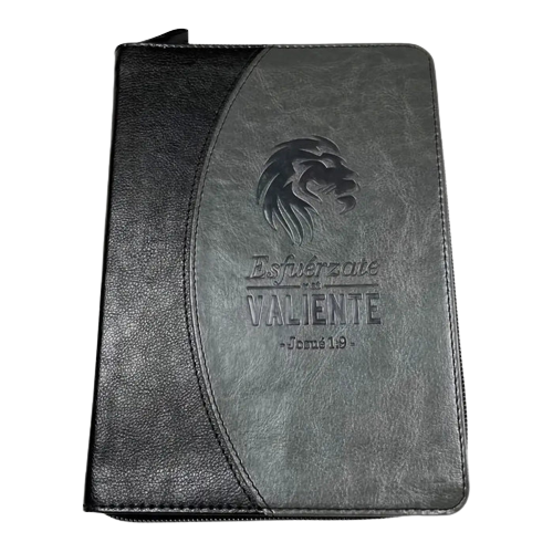
Libreta imitación piel negro – gris con cierre Visit Sale Online
Office & School Supplies
Cuaderno ENRI 80 Hojas Azul (10 Unidades) Low Pice Cheap Online
Forms, Recordkeeping & Money Han
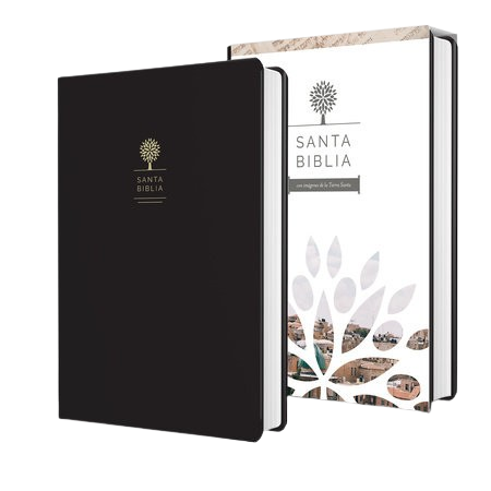
Biblia Letra Grande Tamaño Manual / Símil Piel Color Negro / RV1960 Best Place

Book Covers & Book Accessories