
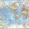

Relief wall map of the Mercantour.
A finishing frame is also available as an option: We highly recommend it to make hanging easier and to enhance the appearance of your map.
Information included on the map:
Legend:
• Hydrological, natural and hypsometric data – Administrative data
• UNESCO World Heritage Sites – Museums – The Most Beautiful Villages de France – Art and history cities – Golfs – Les Beaches – Aerodromes – Stations
• Monuments and castles of legends – Religious sites – Oppidums – Paragliding practice sites (Landing and Takeoffs)
• Waterfalls, Gorges & Caves • Ski Resorts – Natural Sites – GR – VIA Ferrata Sites – Live Water Activities
• Observatories – Tables D Orientations
• Scale 1: 310 000
• 61 cm x 41 cm
Related products

Office & School Supplies
Libreta y Bolígrafo con pluma estilo diamante Low Cost For Sale
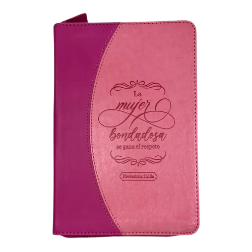
Office & School Supplies
Libreta imitación piel rosa con cierre Discount Pay With Paypal
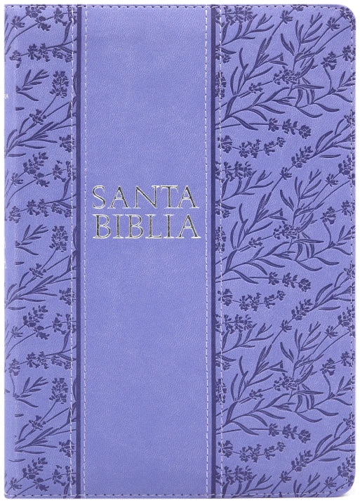
Book Covers & Book Accessories
Biblia Holman letra grande RVR60 – Morado – Cierre – Índice Online Online For Sale

Calendars, Planners & Personal O