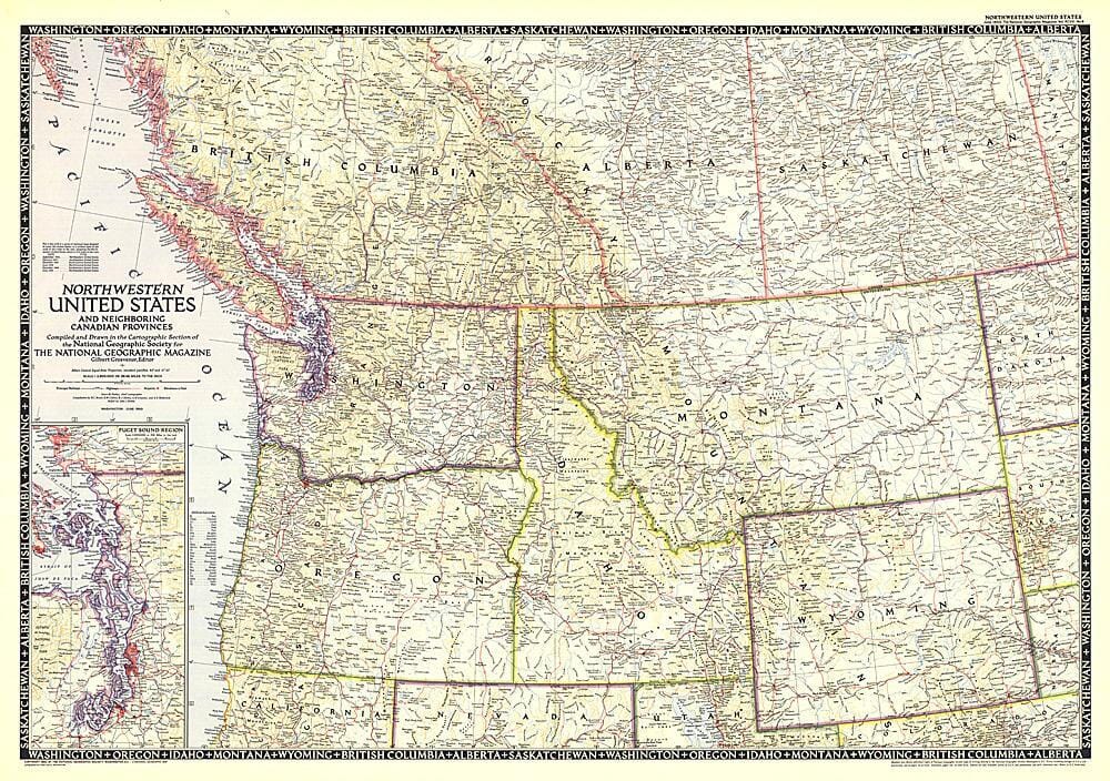
1950 Northwestern United States and Canadian Provinces Map Buy Cheap Newest
$47.00 Original price was: $47.00.$25.00Current price is: $25.00.
SKU: n7rplcr
Category: New Collections
The Northwestern United States and Neighboring Canadian Provinces map is the sixth in a series of sectional maps of the United States dated from 1945 to 1950. Published in June 1950, it provides a thorough look at the states of Washington, Oregon, Idaho, Montana, and Wyoming, as well as the southern portions of British Columbia, Alberta, and Saskatchewan.
Related products
-66%
-72%
New Collections
Nuevo Testamento Reina Valera 1960 Letra G – Leerlo es siempre una Buena Idea Hot Sale
-40%
-45%
New Collections

