
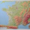
Relief wall map of the Pyrenees.
A finishing frame is also available as an option: We highly recommend it to make hanging easier and to enhance the appearance of your map.
Information included on the map:
– General data:
• Hydrological, natural and hypsometric data – Administrative data
– Tourist attractions:
• Most beautiful villages in France
• Cultural Heritage
• Museums
• Religious Heritage
• Natural Sites
• Waterfalls
• Prehistoric Sites
• Caves
• Belvédères, Orientation Tables < BR>
– Sports Sites, Hiking:
• Large hiking trails
• Refuges and Gîtes
• Alpine ski resorts, Nordic skiing • Via Ferrata
• Thermal stations
• Beaches
• Live water activities
• Paragliding practice sites (www.ffvl.com)
• Takeoffs, landings
• Airports, Aerodromes
– scale & amp Dimensions:
• Planimetric scale: 1: 800 000
• Altimetry ladder: 1: 150,000
• 61 cm x 41 cm
Related products

Calendars, Planners & Personal O
Book Covers & Book Accessories
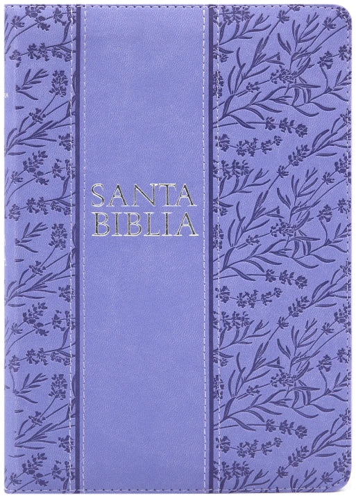
Biblia Holman letra grande RVR60 – Morado – Cierre – Índice Online Online For Sale

Book Covers & Book Accessories
Biblia de letra super gigante 19 puntos RV1960 Cierre e índice Cheap Pice Outlet

Office & School Supplies