


Set of 2 laminated maps to learn Canada’s geography while having fun. The purpose of these maps is to provide basic geographic information on map 1, which is the study guide, and the same illustration but no place names on the map 2, which is the test map.Dimension maps 33 x 23 cm, therefore compact so easy for small hands as holding a large sheet. The map 1 is detailed and quite colorful to attract attention, but not too busy with information sources of confusion or difficult to understand. For example, British Columbia is noted in Orange, with four cities in the province and two mountain ranges, Quebec is noted in yellow with three urban areas and four rivers rated.The map can also be used as a carpet in a restaurant.The maps being laminated, they can be marked with a felt and reused.
Related products

Office & School Supplies
Biblia generación joven de apuntes RVC – Tapa dura Factory Outlet For Sale
Book Covers & Book Accessories
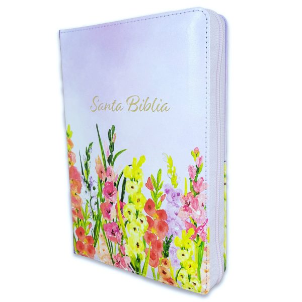
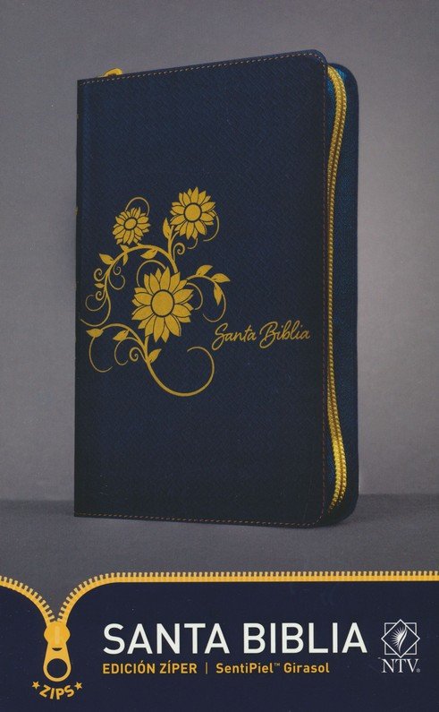
Biblia Letra Gigante Manual Imitación piel lavanda con índice y Cierre RV1960 Discount Official Site
Book Covers & Book Accessories
Office & School Supplies