

Relief wall map of the High Giffre massif (Sixt – Passy Reserve).
Information included on the map:
– General data:
• Hydrological, natural and hypsometric data – Administrative data
• Glaciers, vertices, rocks
– Sports sites, Hiking:
• Tour des Fizs
• Large hiking trails
• Refuge and cottage
• Canyoning sites • Belvederes, Orientation tables
• Ski resorts
• live water activity
• Paragliding practice sites (www.ffvl.fr)
• Takeoffs, landings
• Airports, Aerodromes
– Scale & Dimensions:
• Planimetric Scale: 1: 120 000
• Altimetry Scale: 1: 120,000
• 19.5 cm x 29.5 cm
Related products
Book Covers & Book Accessories
Biblia Holman letra grande RVR60 – Morado – Cierre – Índice Online Online For Sale
Office & School Supplies
Book Covers & Book Accessories
Biblia Letra Gigante Manual Imitación piel lavanda con índice y Cierre RV1960 Discount Official Site
Book Covers & Book Accessories
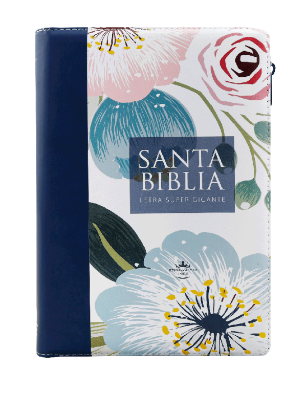
Biblia de letra super gigante 19 puntos RV1960 Cierre e índice Cheap Pice Outlet